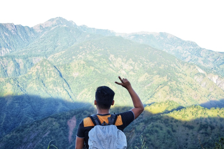
MT. ULAP ECO-TRAIL Itogon, Benguet
Entry point:
Brgy. Ampucao, Itogon
Exit point: Brgy. Sta. Fe, Itogon
LLA: 16.2904 N, 120.6312 E, 1846 MASL (Mt. Ulap)
Days required / Hours to summit: 1 day / 2-3 hours
Specs: Difficulty 3/9, Trail class 1-3,
Features: Grassland and pine ridges, scenic views of the Cordilleras, burial caves
Source: Pinoy Mountaineer
Baguio City has always been a great place to visit any time of the year because of its welcoming cold weather, beautiful scenery, unique and tasteful food and most especially the culture of the people up here. But beyond this place is a truly remarkable town that made headlines two years ago for the new discovery of mountain to hike. In the town of Itogon, Benguet, it houses the now most favored mountain for beginners, Mt Ulap.
WATCH OUR VIDEO
Mt. Ulap Eco-Trail is only a 45 to an hour of jeepney ride from Baguio and is nearer to some other hiking destinations like Mt. Ugo and Mt. Pulag. When you arrive at the jump off area, you will need to register at Barangay Hall manned by Barangay officials, secure a guide and pay the necessary fees.
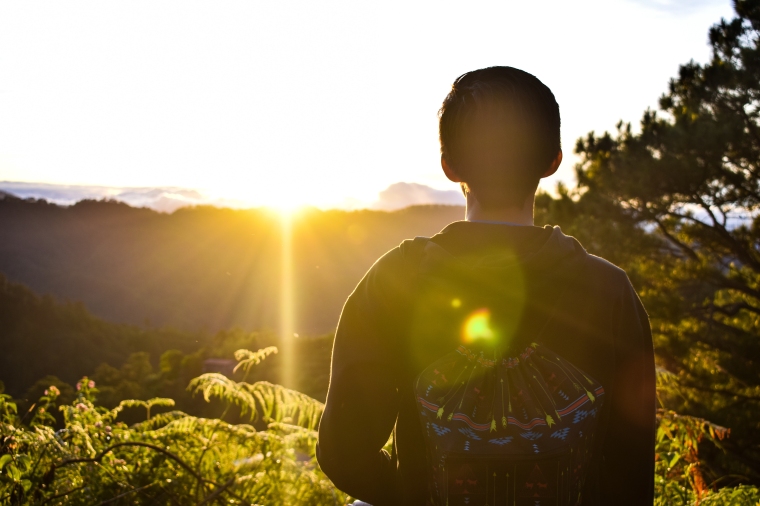 The rewards of starting early is the stunning sunrise
The trail for this mountain is approximately 10 KM and it will take around 6 to 8 hours to finish depending on your pace. In our case, we started our adventure to Mt Ulap as early as 6AM taking a traverse day hike.
FLORA AND FAUNA
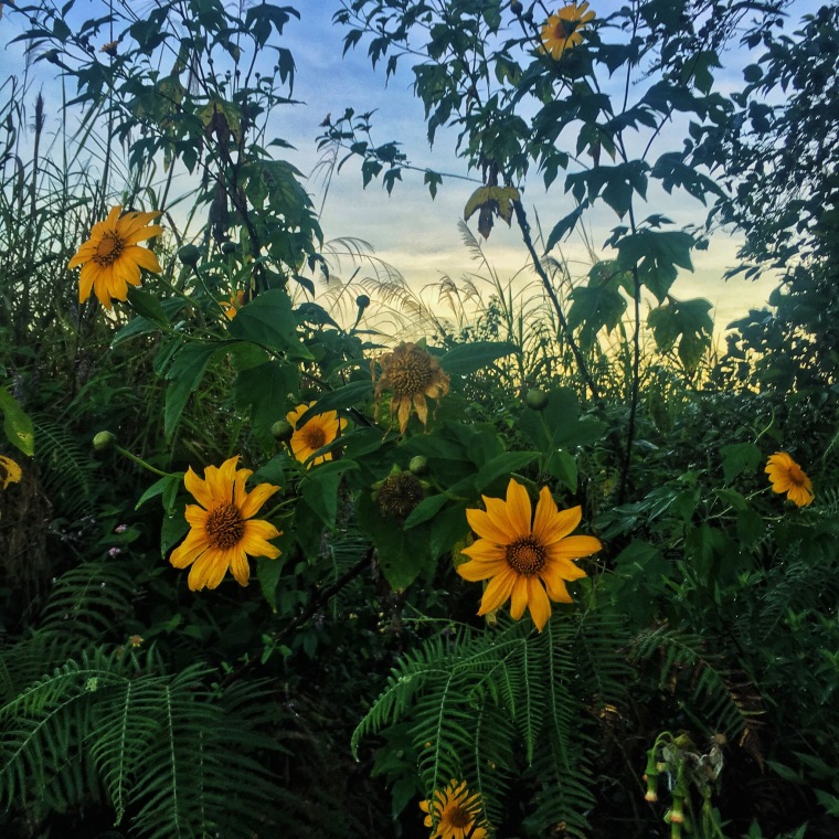


 Pinit, an indigenous wild berry in Cordillera, are commonly seen along the trail. This wild berry is edible.
Mount Ulap Eco Trail is not considered a hard climb, but if you are a beginner, you could well find it challenging. The first part of the trail is almost a non-stop ascend. So better be ready! Be sure to watch your step as the trail is rocky and slippery so it is easy to end up with a twisted ankle or chaffed knee if you don’t focus.

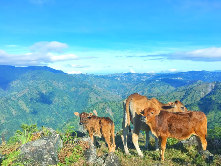
There are six stations along the trail. The first one is Tomtombek, a gradual walk from the Barangay Hall to the metal welcome board showing the different stations and the beginning of the upward assault. The next station, Ambanao Paoay, a 1,788 mASL peak, is adorned with man-made stone stacks but to reach this, you must survive the almost non-stop ascent trail.


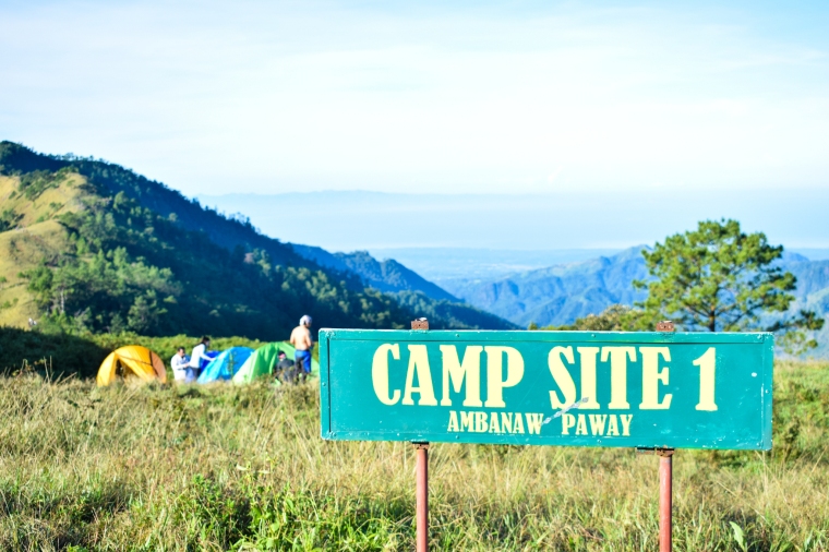 The Campsite commands jaw-dropping views across the mountains
Camping is allowed at the lower portion of this station. Also, along with this station, a portion of the San Roque Dam and Philex mining area can be seen. For campers, the magical sunset and sunrise are often sought here.
Gungal Peak is the most popular spot on Mt Ulap. It is a must that you take a picture of it because of the stunning view made up of amazing rock formations, rolling canyons and often mesmeric cloud formations that linger atmospherically on and between the peaks. You have to be quick though as the officials of Mt Ulap have decided to limit taking pictures here for 10 seconds per person and this is especially enforced whenever a large number of people are hiking. Apparently, this is to ensure that everyone has the chance to take their photos. My friends and I had to wait for at least an hour since we went there on a weekend and the place was swarming with people!

 Lots and lots of gratuitous photo ops for everyone


The Summit @ 1846 mASL
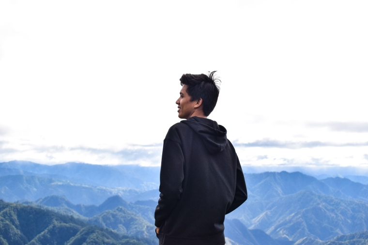
From Gungal Peak, it will take you at least an hour to reach the Summit. Once you reach it, you are rewarded with a splendid view of the Cordillera Mountain ranges. It is truly breathtaking and the cold breeze adds up to the total satisfaction.


 At the top at last but still looking good and modest!
If you think going down is easy, think again! Going down is a tricky descent because of the steepness of the trail. Fortunately, locals have been kind enough to make a real effort for the tourists and have constructed a makeshift stairway.
 Stairway from heaven
After an hour or so of knee numbing descent, you will be welcomed by the ‘infamous’ store up in the mountain, the Ministop/711. You can take a break here and recharge your energy. You can try ordering pancit canton and red rice for Php 40 only! From the Ministop store, it will only take you around an hour to finish the trail of Mt ulap.

Once you get a view of the hanging bridge you’ll know you made it to the finish line! You just survived Mt Ulap ⛰
 The bridge swings a bit so watch out
How to get there?
Option 1: DIY Travel
- Ride a Victory Liner Bus from Cubao going to Baguio City.
- From Victory Bus Terminal in Baguio City, get a cab going to Baguio Center Mall (Jeepneys are located in Lakandula St. Adjacent to Magsaysay St.) where the Jeepney terminal going to Ampucao, Itogon, Benguet is located.
- From there, ride a jeepney bound to Ampucao, Itogon, Benguet. Tell the driver that you will climb Mt Ulap. Travel time: 45 minutes – 1 hour).
- Register and secure guide/s at Ampucao Barangay Hall.
Option 2: Join an organized Tour (search it thru Facebook or Google)
Tour Guide
Budget?
| Victory Bus RT (445/way) | 890 |
| Taxi to Center Mall | 80 |
| Jeep to Ampucao | 30 |
| Jeep from Sta Fe to Baguio | 50 |
| Center Mall to Victory Liner Bus Terminal | 80 |
| Registration Fee | 100 |
| Guide Fee: | |
| Day Hike- 600 good for 7pax | Depends on your plan |
| Overnight- 1000 good for 7pax | |
| Food | Depends on your budget and consumption |
See below computation if you are planning a DIY travel. Please bear in mind that our calculations do not include food and expenses such as Pasalubong, Shower fee (20), Campsite fee (800 pesos for 10pax below) and Porter’s Fee (500 Day hike, 800 overnight)

NOTE: For DIY hike, be sure to make an advance reservation thru Mt. Ulap Facebook Page or you may contact Ms. Celine Palubos at +63018-2788-626 for any inquiry regarding Mt Ulap.
Option 2: Travel Tours
Mt Ulap is now one of the favored mountains in the Cordillera Administrative Region alongside with Mt Pulag and Mt Ugo. Since it has become a hit, tour agencies and individuals alike have been offering tours to Mt Ulap for as low as Php 800. You can find them with a Google or Facebook search.

Reminders
- This mountain is recommended for beginners.
- Don’t leave any of your rubbish behind and leave the countryside as you find it. LEAVE NO TRACE POLICY!
- Closing of registration at Ampucao Barangay Hall is 2:00PM. So complete your registration before lunch as the offices close at 2PM.
- Bring at least 2L of water.
- Packed your lunch and eat at Gungal Peak or at the summit.
- The hike takes about 1.5 – 3 hours to get to the mountain’s Gungal Rock depending on your pace.
- Bring enough hydration. Don’t forget your raincoats and windbreakers as it usually rains on this mountain due to its high elevation.
- Expect rain during monsoon season (June-February).
- You can join organized hiking events online to save time and cut on costs.
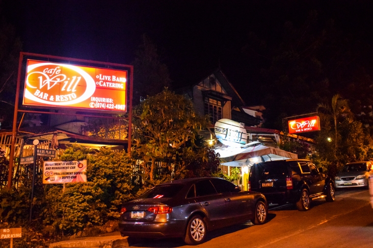
If you are going to stay in Baguio for dinner and you want to get away from the more well known and crowded restaurants, try Cafe Will near Children’s Park at Burnham, Ina Mansion or just beside the Himaya Spa. This restaurant is very good value and might even been called a ‘fine dining’ restaurant and bar depending on what you are used to! They serve great Asian, American and Italian dishes at affordable prices and the serving sizes are very generous and could be considered more than enough for 2-4 people.
Budget: 250-300/person


MORE SIDE TRIPS:
 Top 25 Tourist Spots in Baguio 2017
Related Links:
MT. PULAG TRAVEL GUIDE
600 pesos Dayhike Guide to Mt. Daraitan + Tinipak River
500 pesos Dayhike Guide to Mt Batulao + Caleruega Church
Hiking Guide for Beginners: Mt. Maculot (Rockies) 2017
230 pesos Hiking Guide to Mt. Balagbag 2017


